
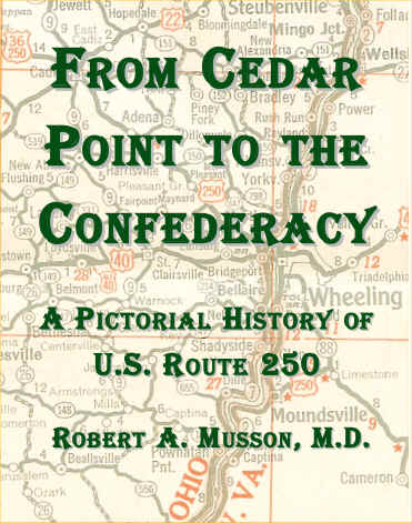
From Cedar Point To The Confederacy
Now Available!
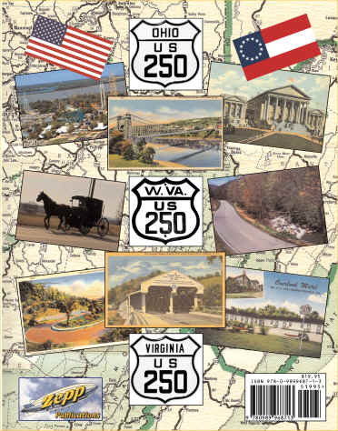
Front and Back Covers
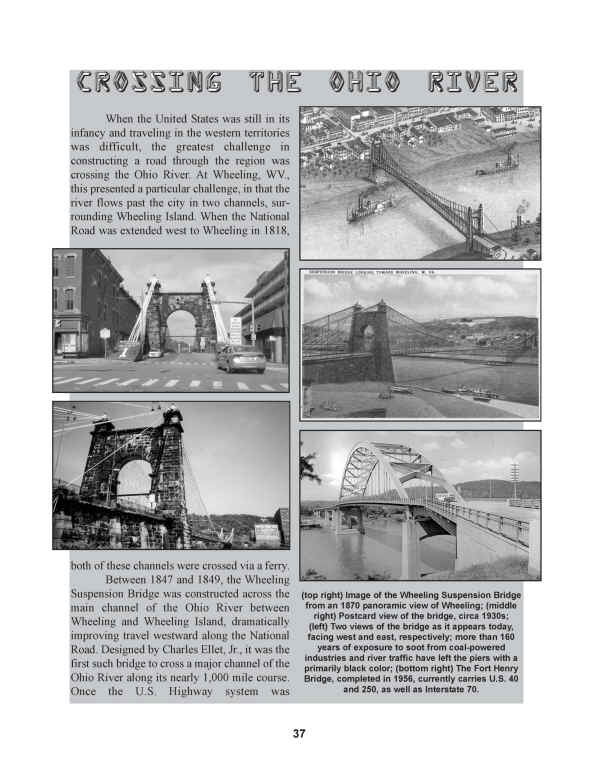
Sample Pages
This book explores the original road as well as its various realignments over the years. Aided by nearly 450 black and white images of photos, postcards, etc., the story of a fascinating American road is told. In particular, the route's numerous links to Civil War battle sites in the Virginias are detailed. Noted generals Robert E. Lee, Philip Sheridan, George Armstrong Custer, Robert Milroy, Edward Allegheny Johnson, Stonewall Jackson, and Jubal Early fought in battles along the road's course.
Much of what is today known as Route 250 was originally carved through the region as part of the turnpike era of pre-Civil War Virginia (in what is now West Virginia). Much of the Staunton-Parkersburg Turnpike and other lesser-known roads later evolved into Route 250, linking it to the region's earliest settlers. In Virginia, a large section of the route was originally part of the Three Notch'd Road, known to have been cleared as early as the 1730s, and which was in use by Native Americans long before that.
In addition to history, the remarkable scenery along the road is detailed, as the road moves from Cedar Point on the shore of Lake Erie through the rural Amish Country of Central Ohio and into the foothills of Appalachia in Eastern Ohio and West Virginia. It then begins a roller-coaster ride of peaks and valleys in the mountain region, finally crossing the Blue Ridge Mountains at Rockfish Gap and then descending to Charlottesville and finally Richmond, where many historic buildings remain. some more than 200 years old. In particular, the Ohio towns of Sandusky, Norwalk, Milan, Ashland, Wooster, Dover, New Philadelphia, Cadiz, and Bridgeport are covered, along with the West Virginia towns of Wheeling, Moundsville, Fairmont, Philippi, Belington, Elkins, Beverly, and Durbin, and the Virginia towns of Monterey, Staunton, Waynesboro, Charlottesville, and Richmond.
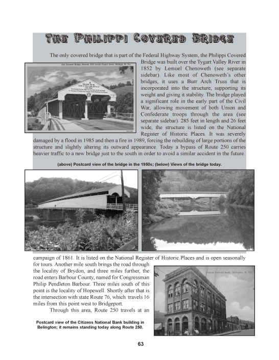
The book includes 40 sidebars of sites, people, trivia, and events that are linked to the road, such as Thomas Edison, Clark Gable, Woodrow Wilson, and Thomas Jefferson, all of whom were born along or close to the road. It also describes The Lincoln Highway and National Road, both of which shared brief sections of Route 250. The historic covered bridge at Philippi, WV. is the only such bridge that is part of the Federal highway system, and is described here, as are four colleges that lie along the course of Route 250.
This book makes an ideal travel companion, whether one is covering the road's entire length or is just out for an afternoon drive.
The book is 116 pages, perfect bound (softbound), published in 2013.
Copies are $19.95 (free shipping), payable by Paypal (use the email address grossvater@zoominternet.net)
Related Links
MapMikey's South Carolina Highways Page
Highways of North Carolina Page